
The River Roding flowed in the small valley below our house and in winter regularly came halfway up the fields, leaving behind, a week or so later, ribbons of dried hemlock and reed, old bottles, dead fish and bits of baler twine. Those childhood scenes came back to me in the last month as I looked down from Wytham Hill. The landscape below was a cracked mirror, with clouds reflected in sheets of water criss-crossed by hedges. The floodplains around Oxford, a mixture of ordinary fields, grazed common on Port Meadow and the rich haylands of Pixey Mead were doing their job https://jminnes.wordpress.com/. However what might they have been like before farming?


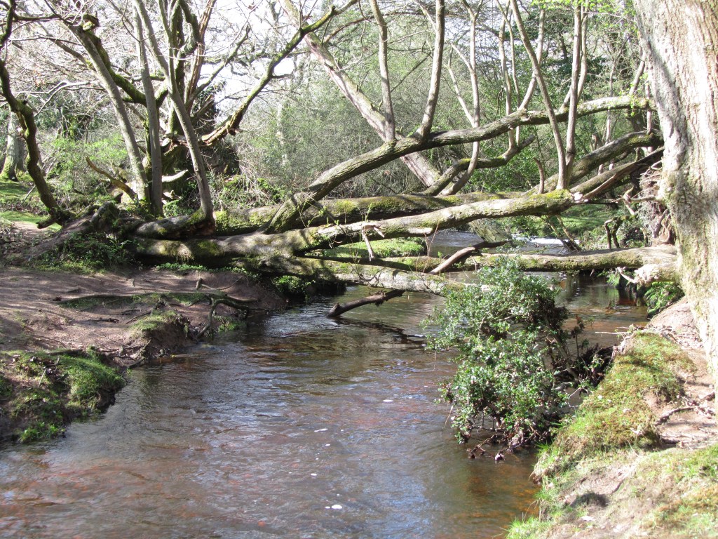
The current more-or-less level land surface reflects the effects of centuries of cultivation and of deposits of alluvium. This latter has been exacerbated by soil erosion upstream as slopes were cleared of trees and cultivated (Robinson and Lambrick, 1984). Back-channels and oxbows have been filled-in; the river confined to a few main channels and the flow in these altered according to which might be the more useful to drive mills or float your boat.
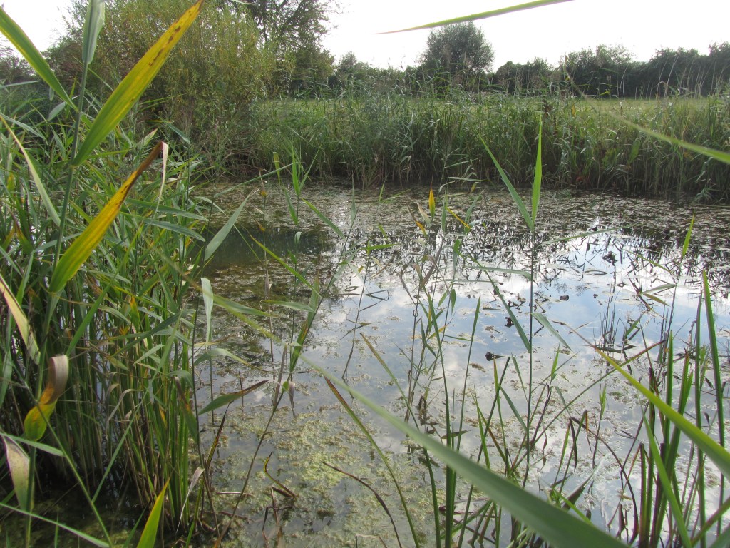

Once, beavers would have been active, creating dams across the smaller waterways, channels and pools, gnawing at willow and aspen clumps. Trees and large branches falling into the river and swept downstream would temporarily get lodged, forming small scale blockages to the water flow. Scrubby wet grassland and reed patches were favoured feeding areas for elk and wild ox. The remains of dung beetles are often more common in samples from river valleys in the early Holocene period (about 6-8,000 years ago) than they are from dry ground sites (Whitehouse and Smith, 2010).

A more irregular surface to the valley bottom combined with disturbance from the water movement and animals would have provided opportunities for a wide range of tree and shrub species to thrive, as can still be seen in less managed river systems across the continent (Ellenberg, 1988). Alder, willows and native black poplar would have been in the less well-drained areas, perhaps forming gallery forests amongst open marshland. On the dryer patches tall stands of oak, elm, ash, would have merged into the small-leaved lime forest higher up the slopes. In the valley bottom-lands beech which can out-compete oak on dryer ground would have been more at a disadvantage, as it is less tolerant of water-logging.

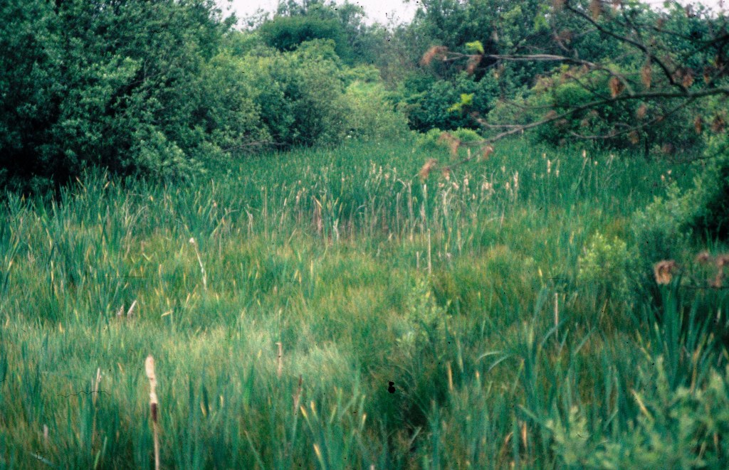
The ground flora would similarly have responded to gradients in shading and waterlogging: reeds and sedges on the wetter ground giving way to wild garlic and enchanter’s nightshade on the better drained patches; tall herb communities, such as hemlock, butterbur and stands of nettles benefitting from the nutrients brought down by the river. Uncommon species such as the summer snowflake and yellow star-of-bethlehem might have occurred more widely, while in the north-west there would have been more disturbed bare ground suitable for the little native balsam, touch-me-not.


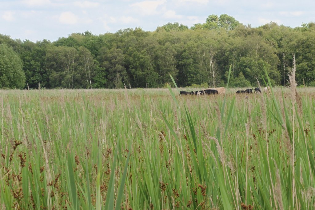
We rightly focus conservation effort on our remaining ancient woods but sometimes forget that they are a highly biased sample of the woody vegetation and tree-ed landscapes that once existed. We have examples of woodland on the mid-slopes in the landscape but generally lack that of the lower ground and that of the upper altitudinal end – tree line scrub and woodland. Both these zones could usefully be a focus for conservation action in this UN Decade of Ecosystem Restoration, because they may represent relatively quick wins in biodiversity terms. Alder and willow can come back quickly if wet fields are left alone. Floodplain enhancements can also bring substantial human benefits through improved water quality and management of water levels.


For now, the Thames is gradually going down again and the fields re-emerging, at least until the next set of Atlantic fronts move in.
