Defra has launched a consultation on a land-use framework for England. This framework should provide the context within which discussions on land-use changes, whether on where to put new forestry plantations or where to put new solar panels. While people may agree with these changes in principle there are frequently objections over individual proposals.
https://www.gov.uk/government/consultations/land-use-in-england
At the heart of the consultation are two key ideas: firstly that we can make some predictions about the scale of change that is needed at a national level if we are to meet various policy targets (Net Zero on carbon emissions, maintain a reasonable level of food security, 30by30 protection for biodiversity), many more new homes, reduced flooding of urban areas); secondly that land suitability for these different uses can be mapped to indicate where changes might lead to conflicts and where there might be complementary gains. The challenge is how, once you have identified, broad zones where one or other type of land-use might be desirable, does that information get used on the ground? Let’s consider the Wytham Estate and the different ways (hypothetically) that its land-use might be changed?
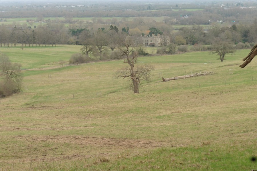
Looking out from Wytham Hill towards Kidlington, and the Oxford North building works, the potential for new housing might come to mind. Wytham is in the Green Belt, but that has not necessarily stopped things happening elsewhere round the City. Across England the urban area and associated infrastructure such as railway lines or pylons, do not occupy that much land-area overall, but as is obvious from the Hill, their visual impact or their impact in altering the way species use the landscape can extend over many times the physical footprint. However, in Wytham’s case the ffenell bequest by which the Estate came to the University put some restrictions on development, so fortunately the Estate stays green.
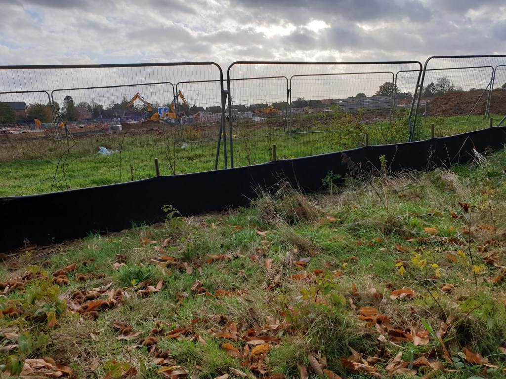
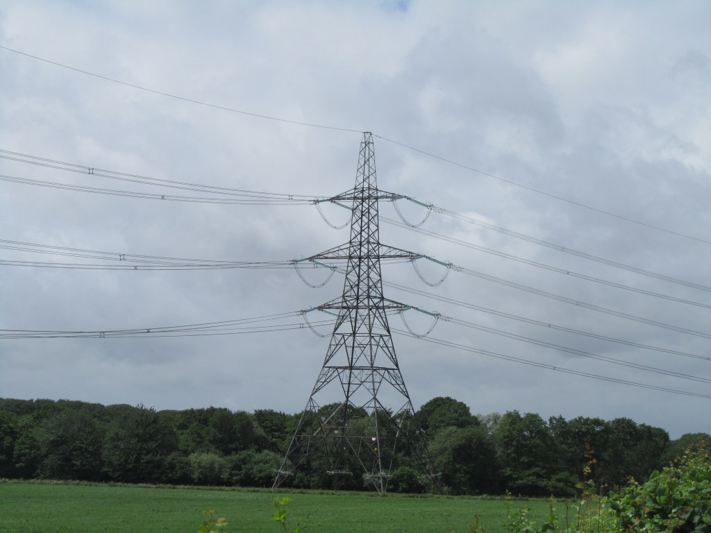
Where are all the new houses to go; electrifying society quickly probably means a lot more pylons.
Two-thirds of the Estate is farmland; not all the highest quality, but could the food production be increased? The farmland on the west side of the hill is already quite intensive. In the 1980s there were efforts to intensify production on Northfield Farm, including ploughing up parts of the floodplain.


The high point of intensification on Northfield Farm: ploughing of floodplain in 1980s and 1990s
However, Wytham is and always has been a tricky place to farm and in the last few decades has gone first organic and more recently to regenerative farming, with the aim of reducing costs, even if there is also some reduction in output. This trend could be continued, i.e keep a significant level of agricultural production, but with increased ‘output’ of biodiversity benefits from field margins, more in-field trees, wild flower meadows etc. This is the easiest and more-or-less business-as usual option.


Unploughed field margins and infield trees – minimalist changes?
What about more radical transformations? The farm is a major flood storage area for the Thames and particularly the Seacourt Stream. With climate change flood events are likely to increase as we get heavier bursts of rainfall, so the value of this role should also go up. Are there ways of increasing the flood-storage potential of the land through creating pools and back channels; perhaps even bring in some beavers? There would almost certainly be biodiversity benefits, and probably in the longer terms increased soil carbon storage in areas of new fen and reed bed. There might be some loss of the restored flood plain grassland that is developing in the fields; the amount of grazing would also probably go down. Would the benefits of the increased flood storage, biodiversity and carbon benefits exceed the reduction in food production? More critically, even if they did, it is currently difficult to turn extra public benefits into cash for a private farmer, although a large corporate body such as the University might be prepared to invest in this way. So perhaps one for the back-burner?
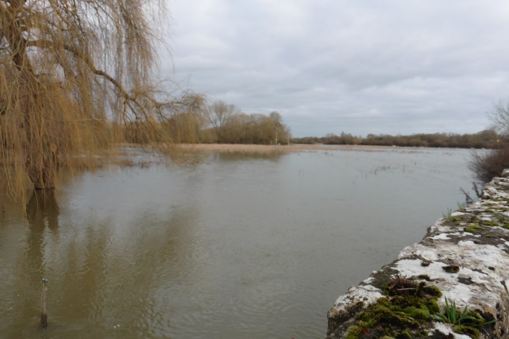

The floodplains at Wytham doing their stuff in 2024
What about more woodland? The area of woodland on the Estate went up in both the 19th and 20th centuries. The government is looking to expand England’s woodland cover: could some of the farmland be planted up, or left to scrub up naturally as the 21st centuries contribution. If so should some of this also be grown to provide a timber crop as well as contributing to carbon sequestration and woodland biodiversity gains, to be set against loss of food production and grassland wildlife.


New woodland creation: 19th Century regeneration on old pasture; 20th Century planting on arable fields
Like most other estates across the country, there is more than one option that could leave the land contributing more towards national targets than it is at present. The land use framework is not going to impose land use changes on individual owners and managers but instead is trying to get people thinking about possible future options. We cannot achieve government’s targets without some land-use change, and climate change will not let us continue with the current patterns of land-use.

